Getting to Truckee

By Car
Conveniently located along Interstate Highway I-80, Truckee is simple to reach by car:
- 200 miles northeast of San Francisco
- 100 miles east of Sacramento
- 32 miles west of Reno, Nevada
Once here, there are two main routes connecting Truckee to Lake Tahoe: Highway 267 and US-89.
By Plane
Reno-Tahoe International Airport (RNO)
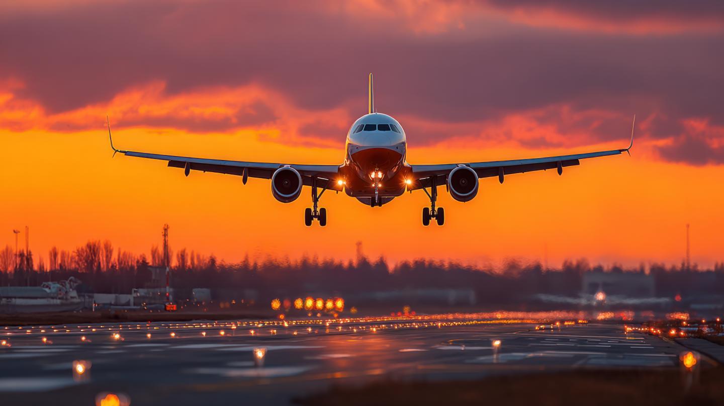
Just a 30-minute drive from Truckee, RNO connects our mountain town to destinations worldwide. With 130+ daily flights from 11 airlines, you can fly nonstop from NYC, Chicago, Denver, LA, and more.
Options from RNO:
- Car Rentals: 9 agencies, pickup at baggage claim
- Shuttle Service: North Lake Tahoe Express
- Turo Car Sharing: Rent from local vehicle owners
Pro Tip: Book early and choose a vehicle suited for mountain driving, especially in winter.
By Train
Take in breathtaking views aboard Amtrak’s California Zephyr, one of the most scenic train routes in the U.S. There are fast connections from the Bay Area (Emeryville) and Sacramento region. The Truckee Station is right in historic downtown, walkable to restaurants, shops, and lodging.
Driving Resources
- Winter Driving Tips (Caltrans): Prepare for winter travel with safety tips from Caltrans.
- Caltrans Road Conditions: Check current highway conditions and closures across California.
